

Prithvi-EO-2.0 expanded geospatial representation without becoming ground truth
NASA, IBM and Jülich released Prithvi-EO-2.0 in December 2024, extending an Earth-observation foundation model with global multi-temporal satellite data.
Historical reporting: NASA announced the expanded Prithvi geospatial model on December 4, 2024. Its technical report records the model and evaluated tasks. Satellite-model outputs remain estimates requiring task-specific ground validation.
Key takeaways
- Prithvi-EO-2.0 was a global multi-temporal representation release, not an authoritative map.
- Earth-observation benchmarks depend on labels, geography, season and sensor preprocessing.
- A downstream map should retain observation dates, resolution and local validation evidence.
NASA recorded a global-data expansion[source 1][source 2]
NASA announced an expanded Prithvi geospatial foundation model on December 4, 2024, describing a release involving NASA, IBM and Forschungszentrum Jülich. IBM’s accompanying account identified Prithvi-EO-2.0 and its availability through model and toolkit channels. The event concerns a model trained on satellite-observation data to support downstream Earth-science tasks. It does not establish that a model output is an official hazard notice, a land-rights record, a crop estimate for a particular farm or a current description of a location after the observation window.
Multi-temporal inputs make time and place part of the model contract[source 1][source 2]
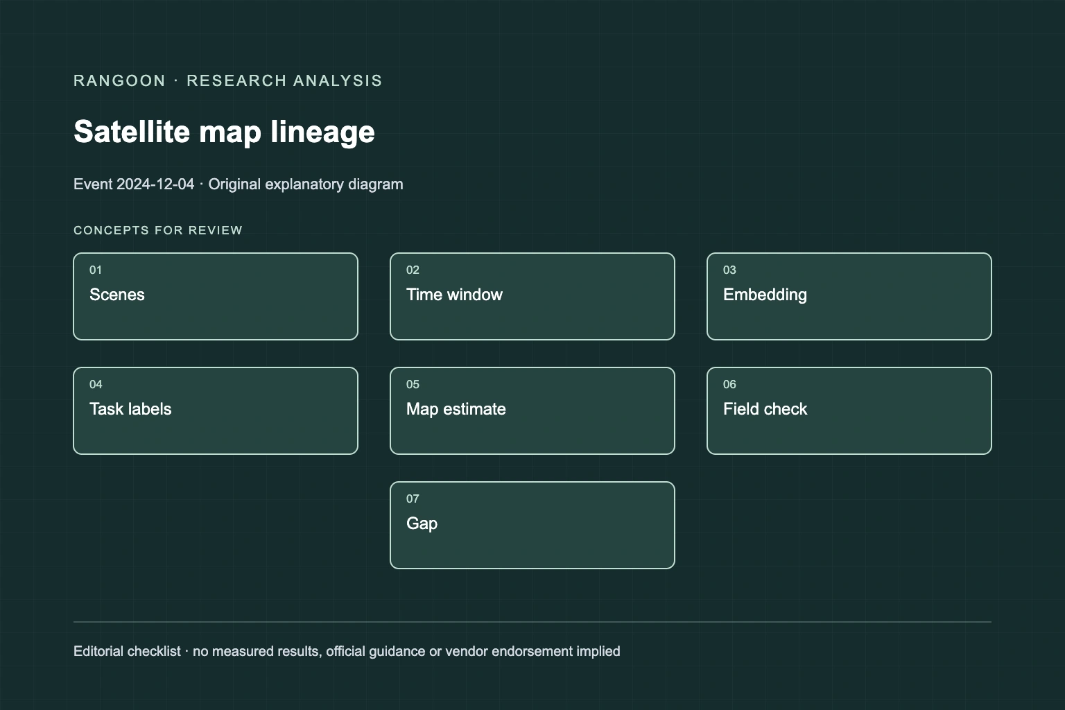
The technical record describes 300M and 600M variants trained on millions of time-series samples from NASA’s Harmonized Landsat and Sentinel archive, with temporal and location embeddings. That setup can help a representation retain context that a single image loses. It also creates provenance duties: different seasons, cloud masks, sensor artifacts and geographic distributions can alter a downstream result. A reported leaderboard gain is linked to its datasets and labels. It cannot settle the accuracy of a new segmentation, classification or change-detection task in a location that was not independently checked.
A satellite-derived label is not direct observation[source 1][source 2]
Remote-sensing models infer from recorded spectral and temporal signals. They can be valuable for prioritizing field work, but a pixel-level output can conflate a cloud edge, seasonal change, preprocessing difference and the target phenomenon. Resolution also limits what can be claimed about small features. Reports should state the source scenes, date range, bands, model version, fine-tuning data and output resolution. A clear uncertainty display is more useful than a visually complete map with hidden unsupported areas. This is especially important where a map could influence public interpretation or resource allocation.
Validation needs spatial and temporal holdouts[source 1][source 2]
Evaluate a downstream Prithvi workflow with labeled locations separated from training geography, plus a later season or year where possible. Measure errors by land-cover type, region, cloud condition and class rarity, not only an overall score. Review apparent changes against the original imagery and an independent local source before assigning a status. If an output triggers field inspection, save the inspection result so the screening model can be calibrated rather than treated as a permanent authority. This study design addresses a geospatial model’s limits; it does not describe a Prithvi deployment.
Analysis: map lineage should travel with every derived layer[source 1][source 2]
Prithvi-EO-2.0 illustrates why foundation-model reuse needs a lineage card. A map consumer needs to know which observations were available, how the representation was adapted, which labels informed the final classifier and where independent checks occurred. The editorial conclusion is simple: representations can accelerate mapping, but they do not erase the distance between satellite evidence and a local fact. The December release is a documented research-access event. It is not proof that every global mapping question can be answered from the same model, nor a substitute for field, legal or operational review.
For a geospatial representation, one unchanged map style can hide radically different reliability across regions. Geographic holdouts make that limitation visible before a map reaches decision makers.
Sources
- NASA: Expanded AI model with global data (December 4, 2024)
- NASA technical report: Prithvi-EO-2.0 (December 4, 2024)
Continue reading
Related reading
 News analysisMatterSim v1 made an atomistic emulator release a reproducibility question3 min read
 News analysisPaddleOCR 3.0 put OCR, document parsing and extraction into one versioned release3 min read
 News analysisNVIDIA released CorrDiff for regional weather downscaling as its peer-reviewed limits remained explicit3 min read